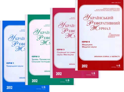
РЕФЕРАТИВНА БАЗА ДАНИХ "УКРАЇНІКА НАУКОВА"
Abstract database «Ukrainica Scientific»
Бази даних
Реферативна база даних - результати пошуку
|
|
Пошуковий запит: (<.>ID=REF-0000604109<.>) | |||
|
Загальна кількість знайдених документів : 1 |
|||
Hnatushenko V. V. Satellite technology of the forest fires effects monitoring / V. V. Hnatushenko, Vik. V. Hnatushenko, D. K. Mozgovoy, V. V. Vasiliev // Наук. вісн. Нац. гірн. ун-ту. - 2016. - № 1. - С. 70-76. - Бібліогр.: 6 назв. - англ. Purpose. To develop the automated processing technology of the low and medium spatial resolution multispectral satellite images, which provides increasing reliability and efficiency of determining the area of forest burnt. Methodology. We used the methods of assessment of the state of vegetation on the burnt area, a complex of different vegetation indices and satellite image classification methods. The method of fire-sites decoding included the following main steps: selection of the image showing the area before and after a fire and calculation of vegetation indices. Findings. The efficient technology of automated estimation of the area affected by forest fires, using satellite imagery, has been suggested. The technique allows us to fulfill all the processing procedure by means of the web-service that provides current and reliable data about the fire effects. Using the developed method we analyzed the multispectral images with low spatial resolution from Terra and Aqua satellites (instrument MODIS) in order to identify areas and periods of active burning in the selected area (California). Then we processed the multispectral images with medium spatial resolution from Landsat 8 satellite (shooting device OLI) to define accurately the boundaries of the burnt areas and to calculate their size. The area of the forest burnt during the period from July 30 to August 12 in 2015 exceeds 41 477 ha. Originality. In contrast to the existing methods of determining the burned areas by means of satellite images and using the Differential Normalized Burn Index, the proposed technology allows determining the areas burnt more accurately through independent determination of optimal binarization thresholds for each image. In addition, it is possible to analyze the temporal changes in the affected forest areas for long periods of observation, by using vector layers with attribute information. The essential advantage of the technique is the high degree of automation of the satellite images processing and the use of re-mote sensing data, which are freely available on the Internet. Practical value. The developed technology allows creating a web service for regular space monitoring of the consequences of forest fires. The users of such a service may be state monitoring bodies, state and private insurance com-panies, energy and oil refining companies, municipal services, private companies, farmers, TV and radio companies and other mass media, as well as population living close to the territories affected by forest fires. Індекс рубрикатора НБУВ: Д131 Рубрики: Шифр НБУВ: Ж16377 Пошук видання у каталогах НБУВ Додаткова інформація про автора(ів) публікації: (cписок формується автоматично, до списку можуть бути включені персоналії з подібними іменами або однофамільці)
| |||
| Національна бібліотека України імені В. І. Вернадського |
 |
| Відділ наукового формування національних реферативних ресурсів |
 |
| Інститут проблем реєстрації інформації НАН України |
Всі права захищені © Національна бібліотека України імені В. І. Вернадського